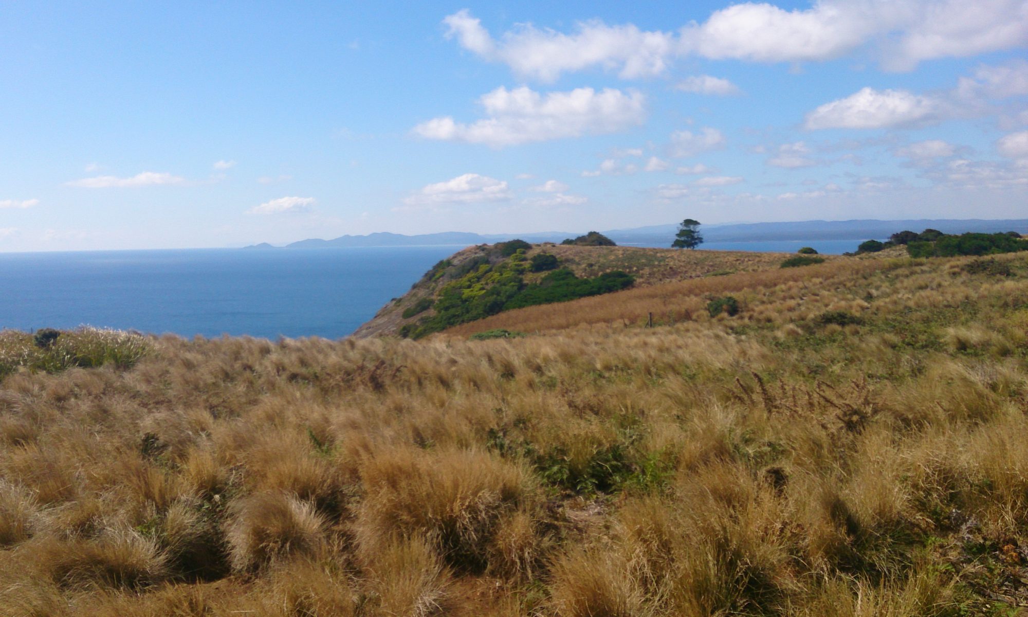
While camping on Bruny Island, which you can read about here, we went for a bushwalk. Our destination was Cape Queen Elizabeth and I wasn’t sure what to expect. By chance, we timed our walk at low tide which turned out to be a very good thing!

The walk to Cape Queen Elizabeth begins with a car park and a 4WD track. Although it’s not the most scenic part of the walk, do take the time to admire the flora. It’s beautiful! The 4WD track takes you past the aptly named Big Lagoon which is, well, big! It’s also visible from the tip of Cape Queen Elizabeth so be sure to look out for it. After big lagoon, you’ll continue down the track for a few hundred metres before having a choice to make: beach or bluff? You can only make it across the beach during low tide. We had a quick look at this website to see if it was low tide in Adventure Bay and fortunately it was! We took the walk along the beach.

If you can’t quite manage the whole 3 – 4 hour walk to the point of Cape Queen Elizabeth, a good second would be to at least make it to Mars Bluff via Neck Beach at low tide. The rock formations are exceptionally beautiful from the beach! You’ll also have views of Cape Queen Elizabeth from the beach, framed by towering cliffs. Round the first cliff and you’ll find a crevice to explore. This takes you through to another beach. There are caves to explore here, including one that is uniquely rectangular! The water reaches into these caves at high tide so please make sure that you’re well out of the way by then. Rock formations can collapse at any time and you do explore these areas at your own risk.


Another highlight of Mars Bluff, which you’ll find around the next cliff, is the arch. I walked past it without even noticing it at first as it is so huge! It is an imposing natural structure. My husband climbed on top of it. I was content just to walk through it and photograph it! Make sure that you time your walk to coincide with low tide as the arch is unique and worth making the extra effort to see.

From the arch, walk to Miles Beach. I didn’t know this at the time, but there is a fisherman’s shack to be seen in the dunes at the eastern end of the beach. While at the eastern end of Miles Beach, take note of the location of a white pole. This is where you’ll need to go if the tide is too high for you to return via the shore. When we walked across it, Miles Beach was littered with crab shells and the sand had been shaped into intriguing patterns by the wind and waves. At the end of Miles Beach, there is another white pole, signalling the start of the walking track to Cape Queen Elizabeth.

The walking track again leads you through native flora. This time, you’ll see stunning white gums, stands of tea-tree and a mutton bird (short-tailed shearwater) rookery. Make sure that you stay on the track and take your rubbish with you to protect the birds. When you reach a fork in the path, take the left turn (an arrow made from rocks is on the ground to guide you). This takes you up to the tip of Cape Queen Elizabeth.

There are two main vantage points. The lower one affords stunning views of Adventure Bay and Fluted Cape. The higher vantage point gives you views of the rest of Cape Queen Elizabeth, down into a crevasse (take care), and on to the shadowy forms of what must be the Tasman Peninsula!
What to Bring

As it’s a 3 – 4 Hour walk, you will need to carry at least a litre of water per person, food, sunscreen, a hat, a basic first-aid kit and good walking shoes. From experience, I recommend wearing thick socks and/or bandaging your feet to prevent blisters with newer shoes. I also recommend wearing layers for warmth and taking waterproof gear if rain is forecast. Finally, remember your camera to take some amazing photos! It’s also handy to have your phone with you. I used mine to check tide times and a map of the track on the go.
Getting There

For directions to Bruny Island, see my instructions at the bottom of my general post about Bruny Island here. Once you’re on Bruny, head south towards The Neck (follow signs from the ferry for Alonnah and Adventure Bay). Before you reach The Neck, you’ll see Bruny Island Honey on the right. Directly opposite this is the car park for the Cape Queen Elizabeth Walking Track. You know you’ve gone too far if you pass the airstrip.
Cost
There is no cost to walk the Cape Queen Elizabeth Walking Track. Make sure that you take care of the track by taking any rubbish that you see out with you.
To read more of my posts about Bruny Island, click here. For posts about southern Tasmania, click here.

